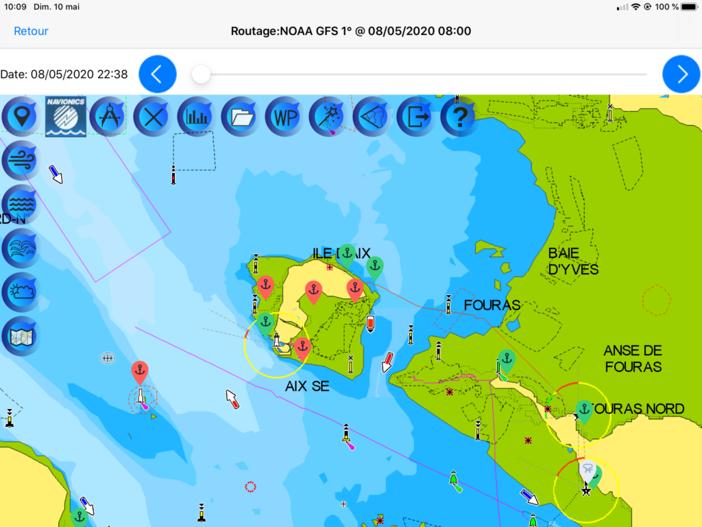
Since version 3.7 for both iOS and Android, you can display Avalon Offshore optimized routes on Navionics Marine and Lakes maps.
If you have an active subscription to Navionics, you can choose to use Navionics maps within Avalon Offshore by:
- Selecting “Navionics” instead of “Raster” in the settings of Avalon main menu
- Register your Navionics credentials and preferred settings within Avalon Navigation module. Just tap on the Navionics icon.
Once done, the calculated routes and the AIS targets will get displayed on Navionics maps, thus completing the Boating app with weather routing and AIS functionalities.
More info is available here:
https://www.avalon-routing.com/wp-content/uploads/2019/01/Carto-Avalon-en.pdf#page=23


A “Howto” vidéo is available:
Well I sincerely liked studying it. This tip offered by you is very helpful for good planning.