Avalon Offshore is compatible with any raster map: mbtile, kap, tif and geotif, From version 3.7 onwards, Avalon is also compatible with Navionics Boating Marine and Lakes charts..
If you have maps that are compatible with Avalon supported formats, you can load them in the Avalon App on your tablet.
This process can be done:
On Apple iOS: via the file transfert function under iTunes or by sending the files to your email on the tablet.
On Android: via Google Drive or by sending the files to your email on the tablet.
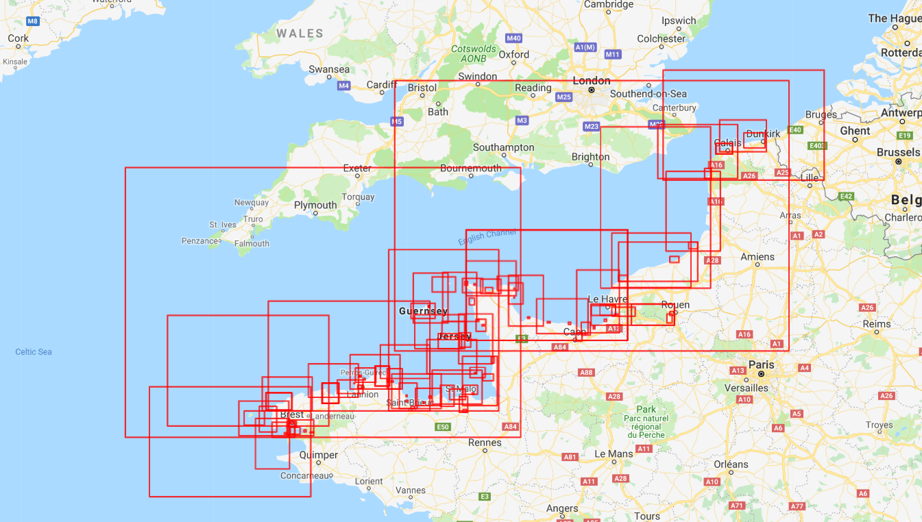
In some countries, hydrographic offices provide nautical maps publicly to sailors. Those freely available maps are preloaded in the Avalon cartography database and can be downloaded to the app on your tablet.
Under those licence agreements, Avalon provide with marine charts for the following countries:
Great Britain`
Ireland
France
Belgium
Netherlands
Spain
Greece
Croatia
Portugal
Cabo Verde
We can easily add South Africa when needed.
Maps can be used on several tablets or phone of the same type (iOS or Android) provided they have been purchased with the same Apple or Google Identifier.
Details of nautical maps available in Avalon Offshore are contained in the document below: